The interactive map allows us to explore Montreal and discover important venues, organizations, and events of the Hungarian community in the city over the past century.
Zooming in on certain parts of the map reveals markers in different colors. Clicking on these markers provides information about each venue and organization: you can learn about their brief history, view photos and documents in the gallery, and, if available, watch interview excerpts or other videos.
Short overviews obviously do not allow us to provide a comprehensive description and analysis of a given organization. However, in addition to the above, we try to help users by providing links and further reading so that they can obtain more detailed information or continue browsing related sites. More in-depth analyses can also be found in the project's publications, so it is worth visiting the Publications menu.
By default, all locations are displayed, but using the menu on the left, you can narrow down the locations displayed to one or more specific categories.
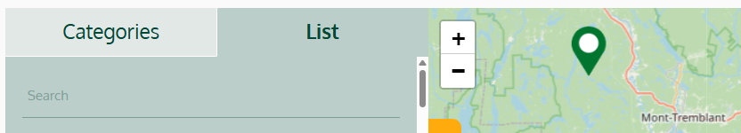
In the List menu, you can search for a specific location by simply typing in the name of the organization or event you are looking for:
We hope you enjoy browsing our website and map and please contact us if you have any suggestions regarding existing or new POIs!